Map of Botswana
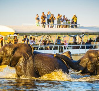
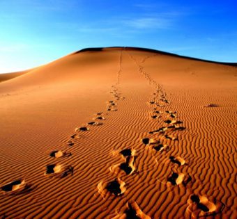
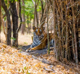
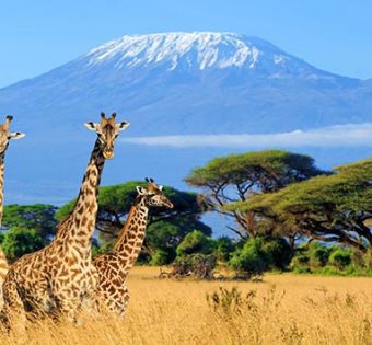
Botswana is a landlocked country located in southern Africa. It is bordered by South Africa to the south and east, Namibia to the west and north, and Zambia to the north. The country covers an area of over 600,000 square kilometers, making it the size of France or Texas. Botswana is a relatively flat country, with an average elevation of around 1000 meters. The Kalahari Desert covers much of the country, while the Okavango Delta is a large wetland area in the north. Botswana’s population is around 2.3 million people, and the capital city is Gaborone. The official languages are English and Setswana, although there are also several other languages spoken in the country. Botswana is known for its wildlife, including its large populations of elephants and lions. The country is also home to many different cultures, including the San people who have lived in Botswana for thousands of years.