Map of Cameroon
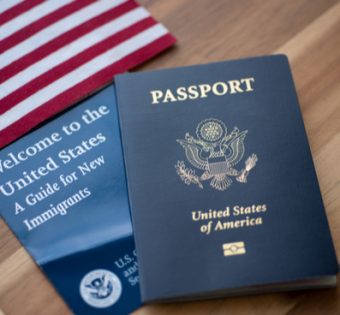
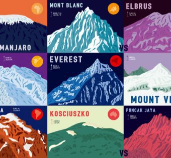
Cameroon is a country located in Central Africa. It is bordered by Nigeria to the west, Chad to the northeast, the Central African Republic to the east, and Equatorial Guinea, Gabon, and the Republic of the Congo to the south. The country’s coastline lies on the Bight of Biafra, part of the Gulf of Guinea and the Atlantic Ocean. Cameroon’s territory includes forests, mountains, rivers, and Savannahs. The highest point is Mount Cameroon, which is an active volcano. The population of Cameroon is diverse and includes over 250 different ethnic groups. French and English are both official languages, but there are also over 200 other local languages spoken. The capital city is Yaoundé, and the largest city is Douala. Cameroon is known for its coffee and cocoa production, as well as its timber industry. Tourism is also becoming increasingly popular in recent years.