Map of Western Sahara
The Western Sahara is a large desert territory located in northwest Africa. It covers an area of approximately 266,000 square miles, making it the largest Sahara Desert region. The Western Sahara is bordered by Algeria to the east, Morocco to the north, and the Atlantic Ocean to the west. The majority of the population is concentrated in the northern part of the territory, near the border with Morocco. The capital city is Laayoune, which is also the largest city in the Western Sahara.
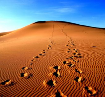
The geography of the Western Sahara is dominated by its desert landscape. There are no rivers or lakes in the region, and only a small amount of rainfall occurs each year. However, there are a few oases scattered throughout the territory, which provide valuable sources of water for both humans and animals. The largest oasis is located in southwestern Western Sahara, near the border with Mauritania.