Map of Saint Vincent and the Grenadines
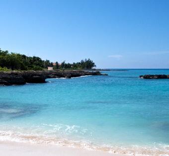
Saint Vincent and the Grenadines is a nation located in the Lesser Antilles chain of islands in the Caribbean Sea. The main island of Saint Vincent is located about 100 miles west of Barbados, and the country also includes a number of smaller islands, including Mustique, Canouan, Union Island, Mayreau, and Young Island. The total land area of Saint Vincent and the Grenadines is just 133 square miles, making it one of the smallest countries in the world.Despite its small size, Saint Vincent and the Grenadines has a diverse geography, with volcanic mountains, rainforests, and sandy beaches. The nation is also home to a rich culture, with traditional music and dance styles that reflect the influences of Africa, Europe, and the Caribbean. Visitors to Saint Vincent and the Grenadines can enjoy a wide range of activities, from exploring the island’s natural beauty to enjoying its vibrant nightlife.

